Preserving History In New and Innovative Ways
To assist with my project, I worked with Joe Madej and Scott Thompson at Seiler Geospatial.
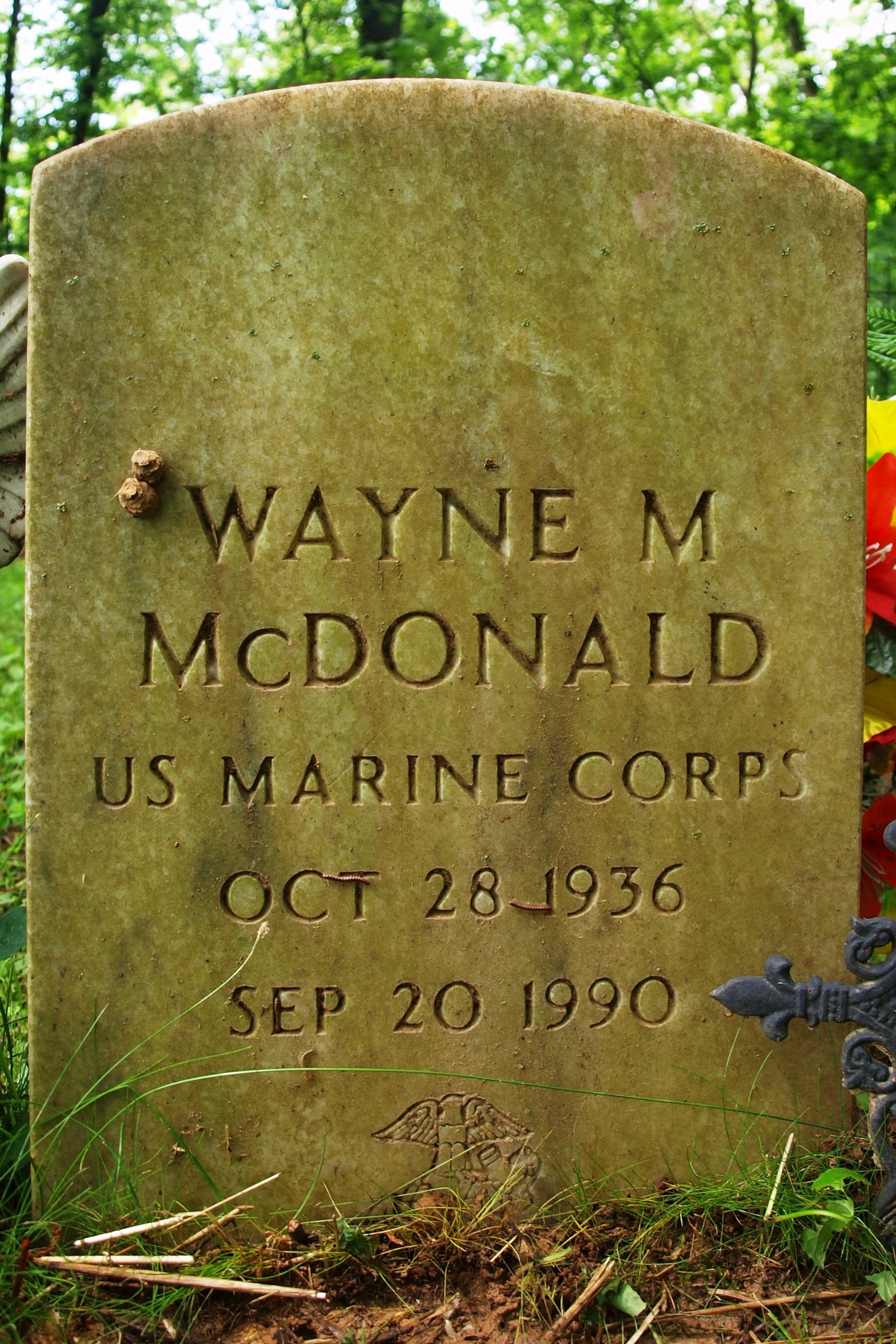
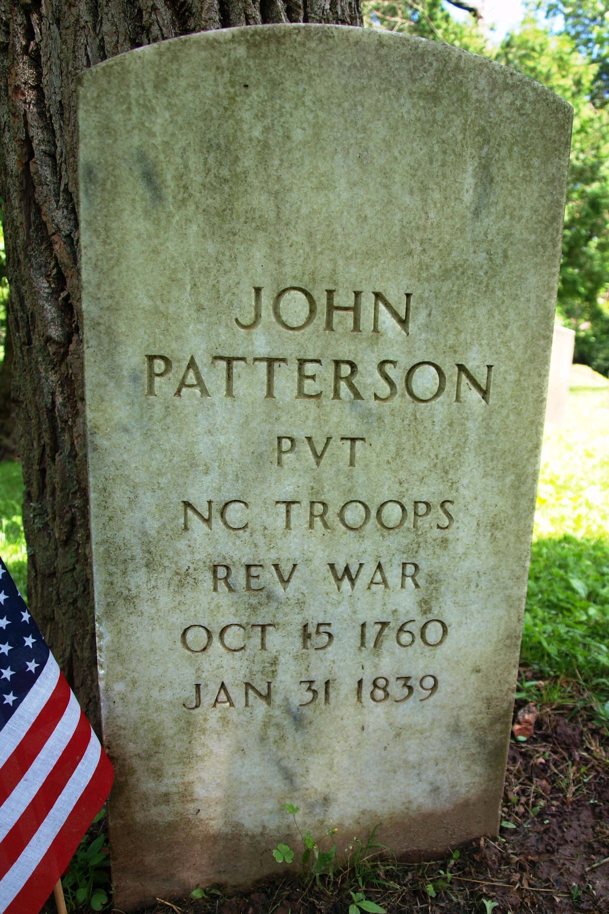
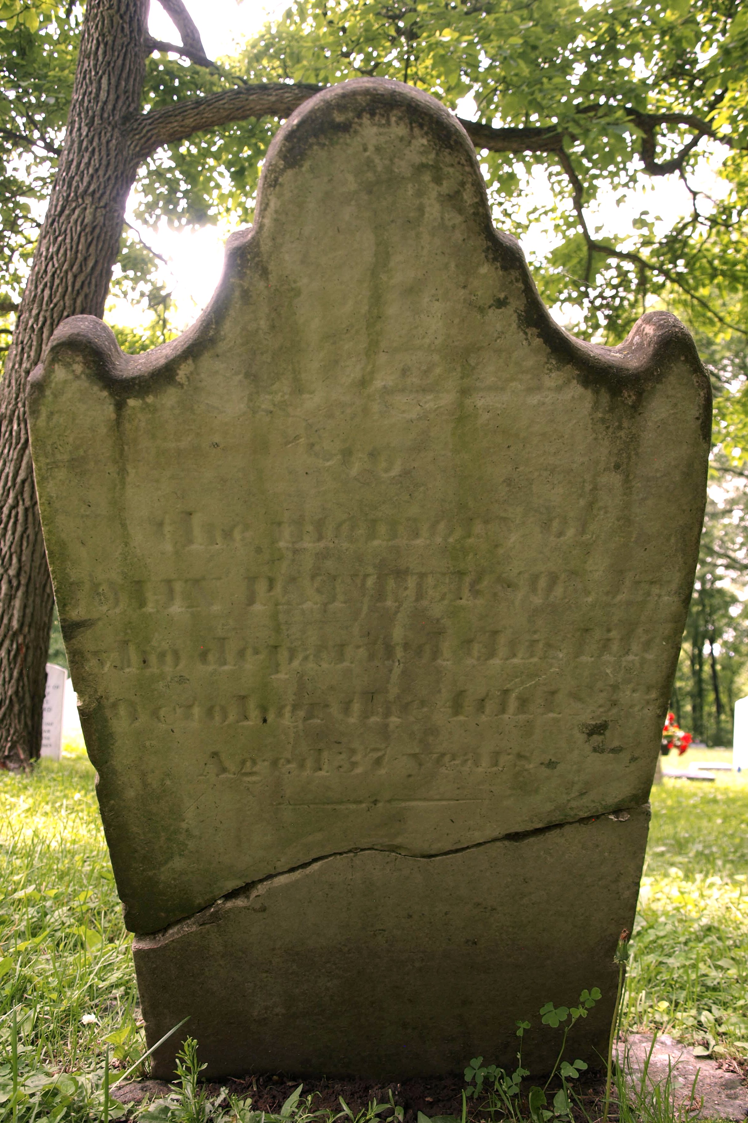
“Mapping internments is crucial for the location of buried soldiers. In my experience, gravestones get lost or damaged and knowing a location through using longitude and latitude, using a high accuracy GPS, will pinpoint these locations for future generations”. -Scott Thompson
What I learned from working with Mr. Thompson:
- – How to create a geodatabase from a spreadsheet
- – How to map internments using a high accuracy GPS receiver and mapping application called ESRI Field Maps which works on Apple and Android phones
Listed below are links to ESRI Geographic Information Systems and Trimble GPS to help explain how this project works.
ESRI ArcGIS – GIS Mapping Software
ESRI Geographic Information System (GIS)
Trimble GPS 101: How GPS Works